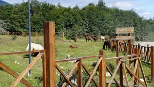
 Trekking in Patagonia presents a traveler with a number of challenges. With the growing number of visitors year after year it becomes increasingly difficult to find an adventure that sets itself apart from the rest. Being the southernmost trek in the world, the Dientes de Navarino (Fangs of Navarino) trek on Navarino Island, Chile provides a unique and challenging experience for even the most experienced adventurer. Even getting to the southernmost trek in the work is an experience in and of itself. From the moment you first view the island from the airplane as you fly over the historic Beagle Channel, the scenery and terrain are breathtaking. You always have the option of hitching a ride to the trailhead but we decided to walk the 40 minutes to the trailhead to get the full experience. As is common in Puerto Williams we passed a group of horses grazing as we took a left at the Plaza de la Virgen and started our ascent. Surprisingly the dogs tailing us didn’t stop to harass them as they usually do (maybe they felt outnumbered).
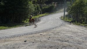
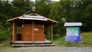
From the split it was just over a mile on the gravel road to reach the trailhead. We took the opportunity to rearrange our packs and fill up our Nalgene’s with fresh water from the Robalo River. If you take the time to stop and regroup, its w ell worth a quick side trip to the river to view the waterfall. This waterfall is one of the few barriers to invasive fish making their way up the rest of the Robalo river. We took the fork to the left at the trailhead to start our trek uphill towards Cerro Bandera.
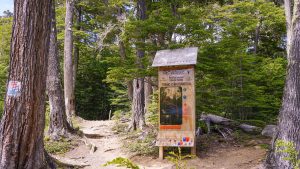
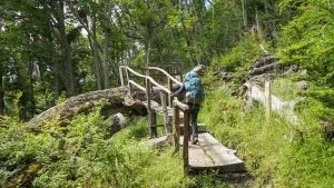
The sun was out and the cover of the forest was a welcome relief. The hike up to Cerro Bandera is a popular day hike from the town and the place you are most likely to see other people. As we hiked through the forest we occasionally made our way over downed trees with the use of bridges made out of wood rough cut with chain saws. One neat note about the trees on the island is that although a lot of them look like they fell over during a recent storm, many of them have been around for decades. Because of the climate on the island the organic matter breaks down very slowly. You can also check out how shallow the root systems are because of the rough terrain on which these trees have staked out their claim. If you ever try and dig a hole on the island you will come to appreciate how tough it is to eke out an existence as a tree on this island. We stopped to gaze back at the town on an overlook where it was easy to pick out familiar landmarks and orient ourselves. Little did we know this would be the last informative sign on the hike.
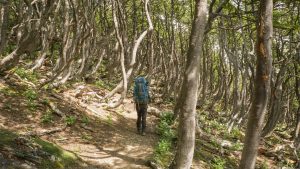
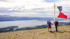
After hiking for a little over a mile through the forest we final emerged and were immediately hit with powerful but refreshing winds. We took a quick break for a photo op and some delicious cheese and salami. After having a clear trail to follow for the first couple miles the day seemed like it was going to be a breeze, but once we set off after lunch we realized how much navigation was going to be required. After speaking with several people who had just completed the trek, we opted for a new route that was just being put together. With the increase in popularity of the hike efforts were being made to route the trail away from the Robalo River and its watershed as it also functions as the towns unfiltered drinking water. We headed off with GPS in hand and searched for the first marker. It wasn’t long before we realized finding these tiny pink markers was going to be a lot more work than we had anticipated. Even with the GPS route pulled up on my phone, we spent a good amount of time searching for the next marker. I cant imagine what an observer would have thought if they would have seen us bumbling around the hillside constantly switching back and forth between the horizon and the phone screen trying to figure out where on earth we were headed next!
We finally started getting the hang of things when the wind started to pick up and it started to drizzle. As we kept ascending on the trek we noticed we kept having less and less level ground to our left and right. as we referred back to the GPS to figure out our next move we were at a disagreement over whether or not it was in the realm of possibility that the route may be over the peak of the mountain in front of us. Almost as i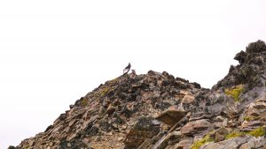 f it were a sign, an Andean Condor descended and landed on the very peak in question. As we stared mesmerized by the sheer size of the bird we both came to the correct conclusion that going over the peak was the correct route. As we started the climb, we got our first glimpse of the Dientes in all their glory!
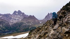
As we descended the other side the cloud cover increased and rain really started to come down. We buttoned up the hatches with our rain jackets, rain pants and my Seattle Sombrero and ventured on. At this point we crossed our first peat bog. As we walked, the ground beneath us was like a sponge (jokingly referred to as a Temperpedic cushion for our knees and feet).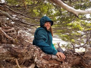
Several hours into our first day we were ready for a much needed break. As we reached the first big lake of the hike, we found a small group of trees to hunker under and heat up possible the most delicious ramen noodles of our entire lives. We made a refreshing thermos of coffee and felt ready to tackle the rest of the day.
We departed the first lake and made our way uphill following the Rio Ukuika towards Laguna Del Paso. The pouring rain did not stop our awe at the absolutely stunning landscape. We ventured forward and eventually worked our way around Laguna Del Paso and met back up with the Traditional Dientes circuit. It was getting late and we agreed upon a campsite just after the split on the trail towards Lago Windhond. We had heard the trout living in the lake were a must see and decided to take a detour to the other side of the island. Exhausted and wet, we set up camp for the night and feasted on our freeze dried backpacking meals.
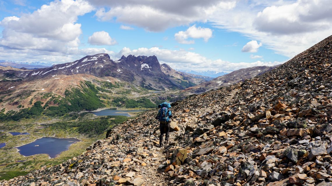
Rested and rejuvenated we took the next morning to dry out our clothes on our Sea to Summit clothesline and attempt to make use of our window of sunlight. The next step in the hike was to work our way up and over Mount Betinelli. It was a constant uphill over uneven rocks until we eventually made out way to the summit. This was when we got our first view of the Cape Horn Archipelago!
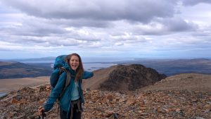
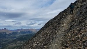
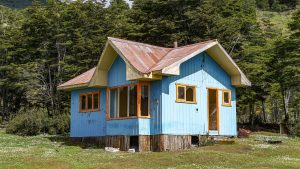
Little did we know the most difficult part would be the decent towards Laguna Betinelli. Sticking to the trail we made our way down without any mishaps but mused as to what it would be like to have to descend in less than ideal conditions. After stopping for lunch on the shore of the lake we made our way into the forest that led down to the peat bog adjacent to Lago Windhond. Making our way through the forest turned out to be a chore. The rainfall had turned the trail to muck and many of the trees with markers had previously been knocked down by winds and resulted in much more difficult navigation. 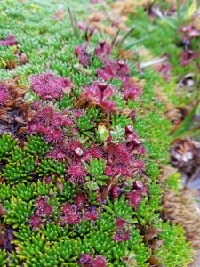 We finally made it out of the forest and meandered our way amongst the peat bog until we finally reached the lake. A highlight of the trek across the bog was the large number of carnivorous plants we were able to observe. Just off the shores of the lake is Refugio Charles which offers relief to the weary traveler with a wood stove, shower station and refuge from the weather conditions. Since two other parties were already using the Refugio, we continued on to the shores of the lake and set up camp a short distance from the shore. We took the opportunity to make a fire to dry out our shoes and socks and enjoy our Nalgene of Chilean wine as we relaxed by the lake.
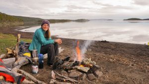 After an unsuccessful and freezing attempt to fish we settled in for the evening and got some much needed sleep.
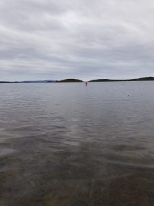 The following day we made the tortuous trek back up the muddy mountain forest and rejoined the Dientes. After a long day of retracing our steps back to the Dientes we made
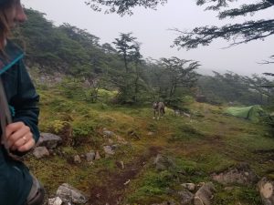 our way to a campsite adjacent to Laguna De Los Dientes. As we came upon the lake we reunited with the three legged dog from town who had been following a couple along their hike and was guarding their campsite. He must have recognized us from town because he gave us no trouble and let us pass in peace. After a restful sleep we awoke to a beautiful start by the lake and continued our trek along the Dientes. With the sun out, we made our way up Paso Ventarron which provided unprecedented views of the valley below.
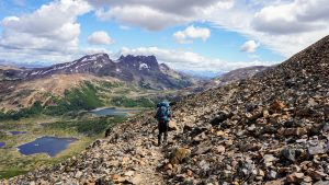
The high winds were refreshing after a difficult ascent up the trail to the pass! After descending into the valley we stopped for a refreshing lunch by a creek and took a quick nap to rejuvenate ourselves. Eventually we made our way to the shores of Lago Martillo and set up camp. Again we made use of the clothesline and finally made progress on drying out some of our clothes. After a rejuvenating sleep we were ready to tackle the last day of the trek! Slowly but steadily we made our way uphill towards Paso Virginia . We encountered mud, sporadic rain, and a couple of false summits but eventually made our way to the top.
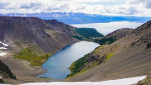
At that point we encountered the daunting but eventually exhilarating task of descending to the valley below. Almost like we were skiing, we made our way down the rock scree and eventually to the flat trail below. At this point we encountered a rescue squad headed the other direction. It seems an older man had left his travelling companions behind after he determined they ladies were not moving fast enough and they had not been seen for a couple days. We had been fortunate enough to not encounter any extreme difficulties but it is not uncommon for hikers to suffer serious injuries and have to be carried out of these remote areas by the perseverant volunteer rescue force. The last mile of the trail was by far the most frustrating of the entire trip. No signage and a large amount of criss-crossing cattle paths made navigation extremely difficult but we eventually made our way to the road. While some hikers have thought ahead and arranged a ride, we ended up walking the last 4.5 miles back into town via the road along the coast. With tired knees and empty stomachs we thoroughly enjoyed our Austral Lager beers and hearty meal to end our day. All that awaited us was the tiny twin otter plane back to Punta Arenas to continue on to our next adventure!
For more technical details of the hike please stay tuned for an upcoming post!
